
S-100 Functionality: What's Next? IIC Technologies' Series Continues in Seaways Magazine
In the first article, the focus was on the technology, data, and specifications that support the route monitoring mode on ECDIS. This second article outlines the Phase 2 product specifications and the resulting information and functionality they will deliver. The IHO and IMO are developing these product specifications, some of which will become part of the IHO's Phase 2 rollout focusing on enhancing S-100 ECDIS.
As featured in Seaways magazine, May 2025, pp. 6–9. Reproduced with the generous permission of the Nautical Institute. Read Seaways online at nautinst.org/seaways.
S-122: Marine Protected Areas (MPAs)
IHO S-122 provides a detailed model of Marine Protected Areas worldwide. The definition, measurement, legislation, and ongoing management of MPAs are often the outcome of long negotiations between multiple states and intergovernmental organisations. While S-122 has a long history of IHO development, a recent Open Geospatial Consortium (OGC) Pilot Project has explored its broader uses, particularly the impacts of MPAs on commercial shipping through S-100 ECDIS. S-122 also has a rich feature model which can represent the often complex network of enacting authorities, associated restrictions and recommendations, and how they apply to individual vessel types. S-122 is currently undergoing a revision to modernise its modelling and documentation to conform with S-100 edition 5.0.0.
S-123: Marine Radio Services
The S-123 Marine Radio Services product specification describes the means to capture the availability and reliability of radio stations, radio position fixing systems, radio beacons, services offering navigational warnings, and weather forecasts in the maritime domain. Often radio service areas are not well defined and schedules are complex, supported by multiple published information sources from different agencies. S-123 datasets will contain all relevant maritime radio service information for the area of coverage, including metadata covering data quality, production authority, data sources, and publication date. Like S-122, S-123 enables a dynamic data structure which allows encoding of the many complexities in the data, presenting a coherent and geo-referenced picture.
S-125: Marine Aids to Navigation and S-201 — Aids to Navigation Information
IHO S-125 Marine Aids to Navigation is a specification for the electronic exchange of information related to AtoN, closely related to S-201 Aids to Navigation Information. S-125 is intended to be a real-time marine AtoN service mainly focused on end users, while S-201 focuses on AtoN information exchange between authorities and customers. The S-201 Product Specification provides a common structure for the exchange of information about AtoNs between lighthouse authorities, hydrographic offices, and other organisations, containing rich metadata such as positions, properties, operational status, maintenance schedules, equipment type, and general comments. Both S-125 and S-201 are published by the International Association of Marine Aids to Navigation and Lighthouse Authorities (IALA) in conjunction with IHO.
S-127: Marine Traffic Management
IHO S-127 defines the data and information necessary for effective marine traffic management, including traffic routing such as traffic separation schemes, two-way routes, recommended tracks, areas to be avoided, and other navigational guidance. By standardising the way marine traffic management information is structured and exchanged, S-127 ensures that this information is consistent and interoperable across different systems and platforms, allowing mariners to access critical traffic management information directly within their navigational tools.
S-131: Marine Harbour Infrastructure (MHI)
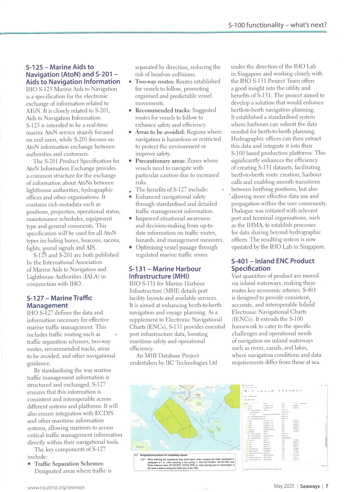
IHO S-131 for Marine Harbour Infrastructure details port facility layouts and available services, aimed at enhancing berth-to-berth navigation and voyage planning. As a supplement to Electronic Navigational Charts, S-131 provides essential port infrastructure data, boosting maritime safety and operational efficiency. An MHI Database Project undertaken by IIC Technologies under the direction of the IHO Lab in Singapore demonstrated the utility and benefits of S-131, establishing a standardised system where harbours can submit the data needed for berth-to-berth planning. The resulting system is now operated by the IHO Lab in Singapore.
S-401: Inland ENC Product Specification
S-401 is designed to provide consistent, accurate, and interoperable Inland Electronic Navigational Charts (IENCs), extending the S-100 framework to cater to the specific challenges and operational needs of navigation on inland waterways such as rivers, canals, and lakes. S-401 focuses on encoding bathymetric data of inland waters in a standardised format, ensuring consistency and interoperability across platforms, and includes inland-specific content such as locks, bridges, and river currents.
S-412: Marine Weather Warning Overlay Standard
S-412 provides a consistent framework for encoding and displaying real-time weather information including forecasts, observations, and warnings as overlays on ENCs. The S-412 product specification covers marine weather warnings in the form of polygons depicting areas where wind, wave, and ice accretion are ongoing or predicted to meet WMO and IMO criteria. There have been significant recent developments in the S-412 standard, led by Joseph Sienkiewicz, Chief, Ocean Applications Branch at NOAA.
S-411: Ice Information
S-411, containing overlay data of ice information from high latitudes, is a key product specification for certain vessel types, especially given the upsurge in polar shipping activity. S-411 was a very early product specification developed by IMO's expert groups and has recently been enhanced and upgraded to S-100 edition 5.2.0. S-411 delivers a combination of features and attributes covering actual and predicted conditions for mariners, together with a rich, standardised portrayal mechanism covering sea ice, lake ice, icebergs, and many of the complex features included in existing national publications.
S-421: Route Plan
S-421 ensures seamless communication and sharing of route plans between vessels, significantly reducing the risk of collisions and improving overall maritime safety. By standardising the format for exchanging route information, S-421 enables enhanced situational awareness, improved collision avoidance, and optimised resource utilisation through efficient route planning and coordination.
S-121: Maritime Limits and Boundaries
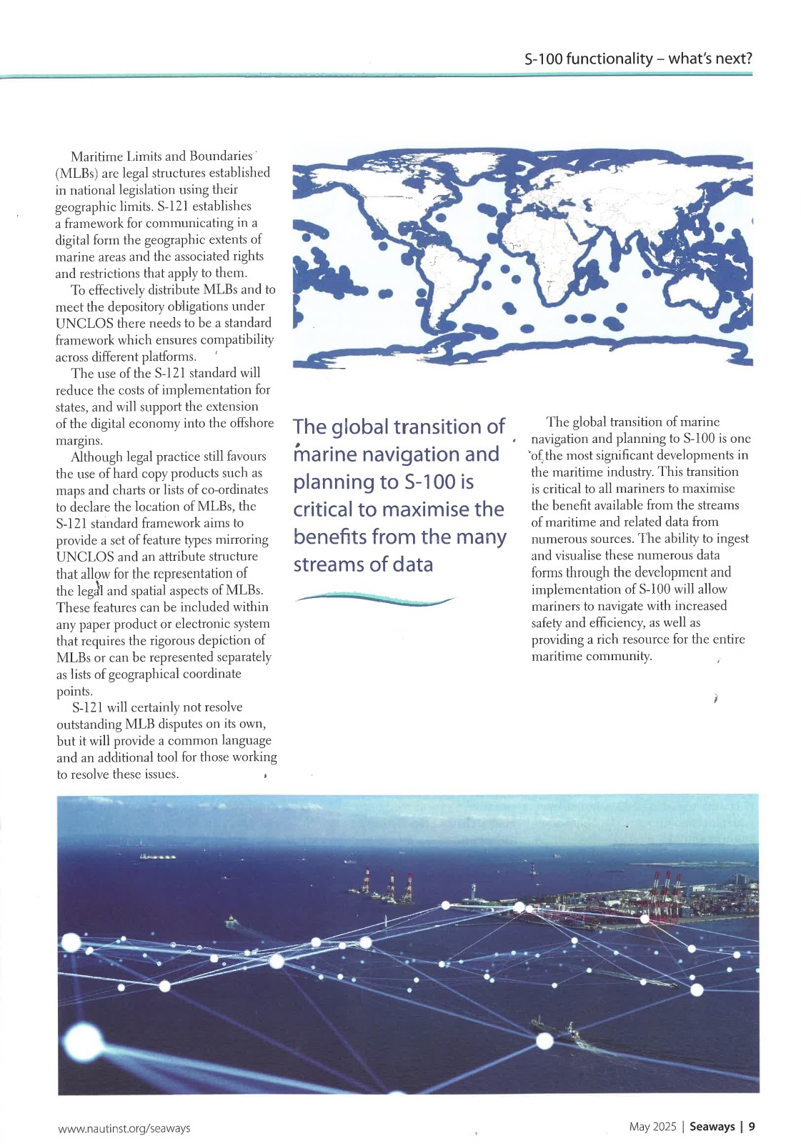
The world's oceans are subdivided into numerous zones defined by UNCLOS, the United Nations Convention on the Law of the Sea. S-121 establishes a framework for communicating in digital form the geographic extents of marine areas and the associated rights and restrictions that apply to them. The S-121 standard framework provides a set of feature types mirroring UNCLOS and an attribute structure that allows for the representation of the legal and spatial aspects of Maritime Limits and Boundaries, supporting states in meeting their depository obligations under UNCLOS while reducing implementation costs.
Developing an S-100 Portfolio
The Canadian Coast Guard (CCG) recently commissioned a software development project to provide an ECS capable of handling a portfolio of S-100 data products, namely S-123, S-124, S-127, and S-421, together with complex route planning capabilities. IIC Technologies was requested to develop the ability to visualise these new digital products in a navigational system. The system was showcased at a recent IHO S-100 strategy meeting, with the CCG's national representative using it as an example of what CCG is working on to deliver the next generation of digital e-navigation services in Canada.
Looking Ahead
The global transition of marine navigation and planning to S-100 is one of the most significant developments in the maritime industry. The ability to ingest and visualise numerous data forms through the development and implementation of S-100 will allow mariners to navigate with increased safety and efficiency, as well as providing a rich resource for the entire maritime community.