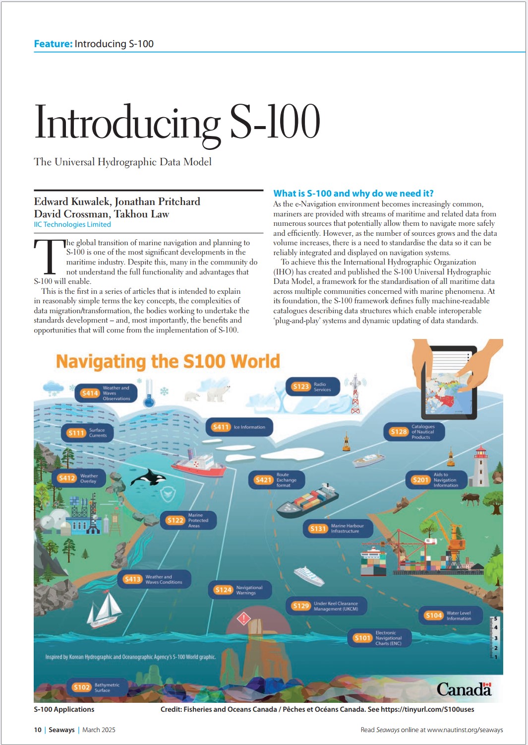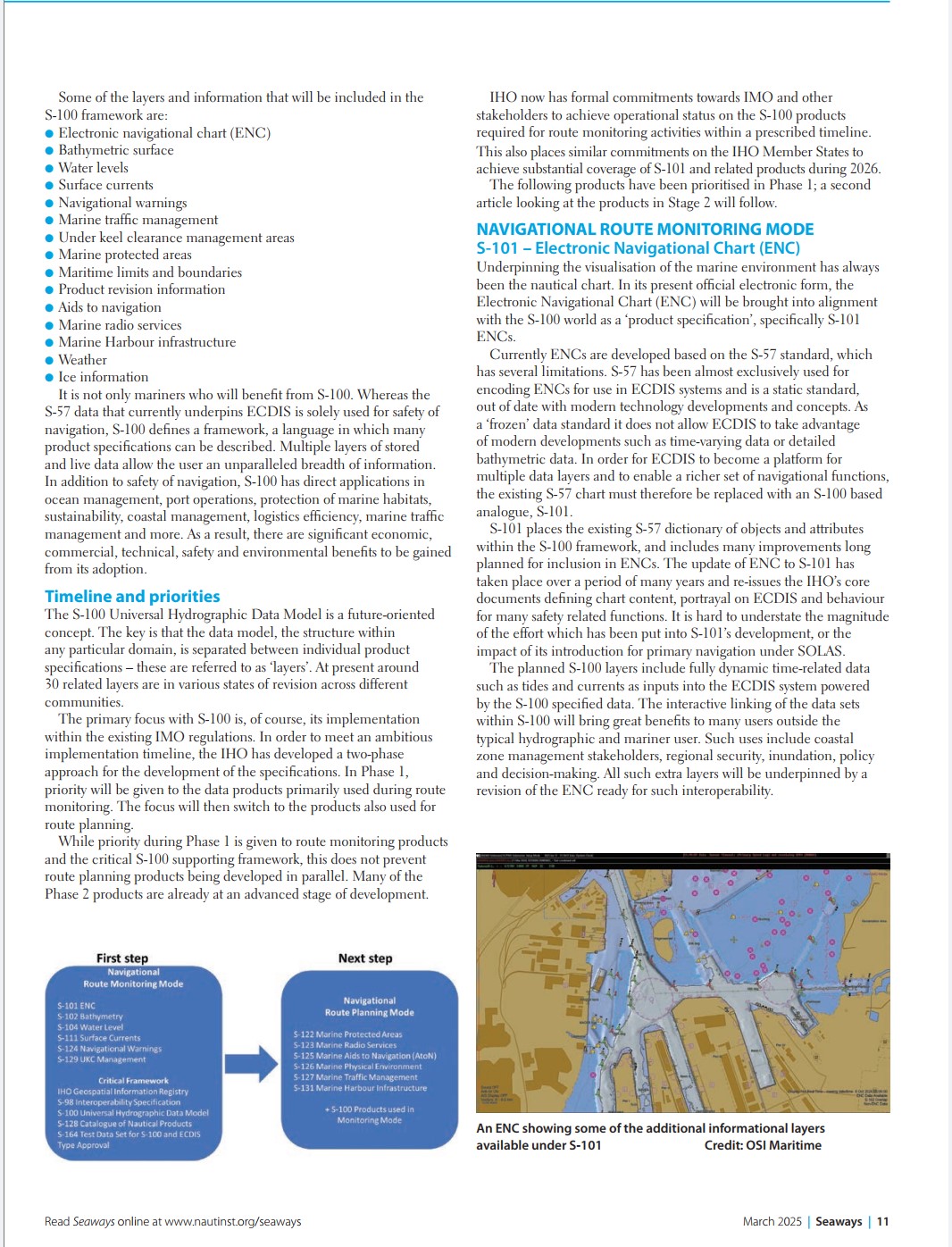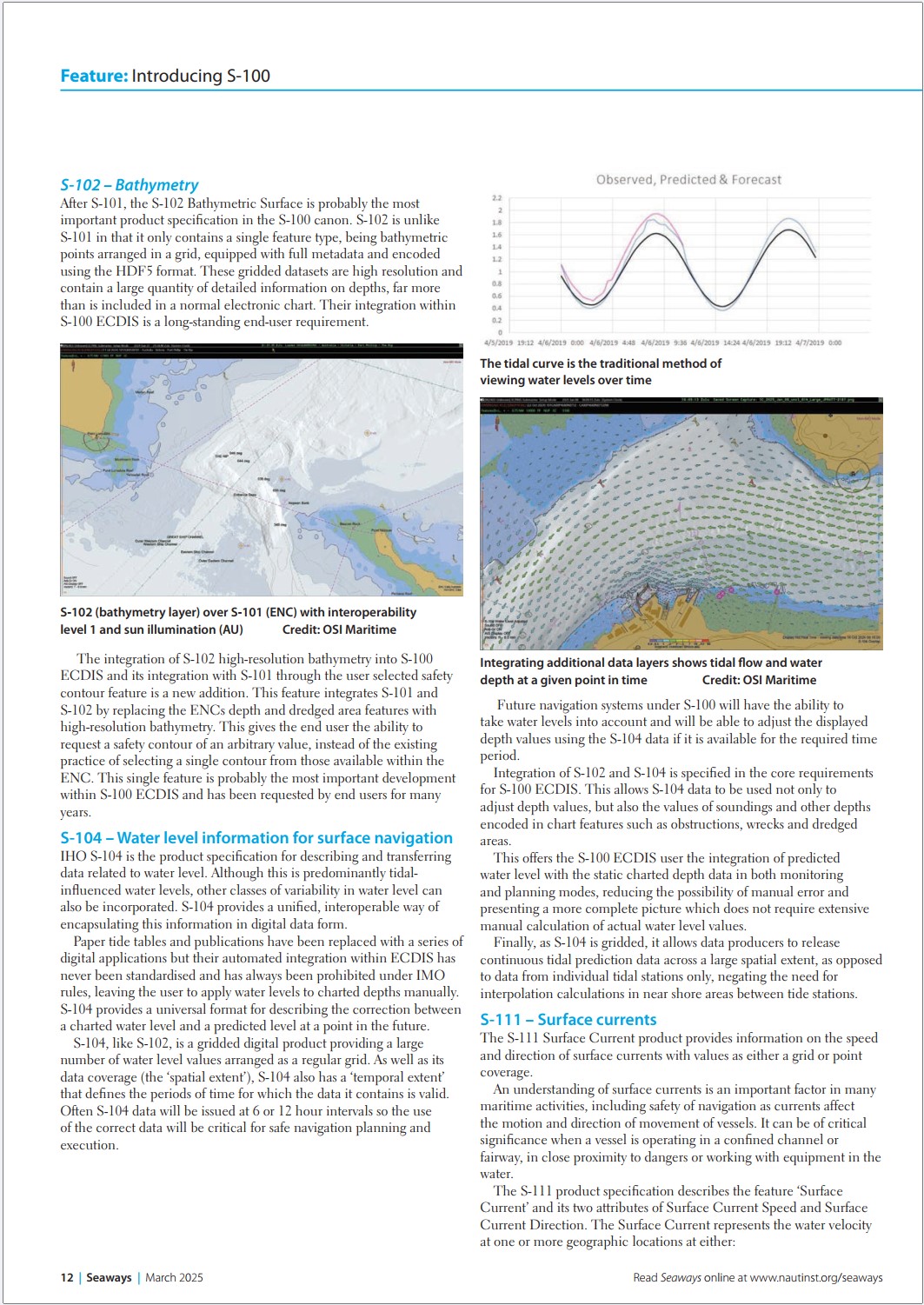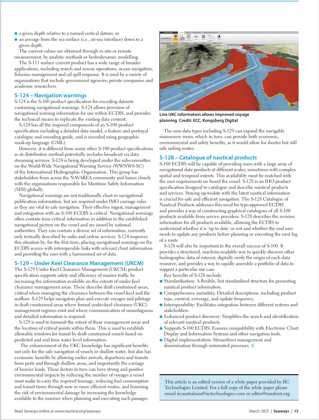
IIC Technologies' S-100 Series Published in Seaways Magazine
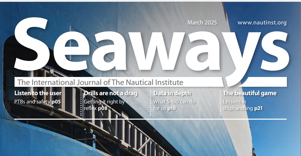
IIC Technologies is proud to have its S-100 article series published as a feature in Seaways magazine, the International Journal of the Nautical Institute, in the March 2025 issue.
About the Article
The IIC series, originally developed and published on LinkedIn, was converted into a white paper and edited for publication as a two-part feature. The first article, "Introducing S-100: The Universal Hydrographic Data Model," appears on pages 10 to 13 of the March 2025 issue. The second article, covering IHO Phase 2 product specifications, will follow in a subsequent issue.
The article is authored by Edward Kuwalek, Jonathan Pritchard, David Crossman, and Takhou Law of IIC Technologies Limited.
Reproduced with the generous permission of the Nautical Institute.
IIC Technologies is proud to have its S-100 article series published as a feature in Seaways magazine, the International Journal of the Nautical Institute, in the March 2025 issue. The IIC series, originally developed and published on LinkedIn, was converted into a white paper and edited for publication as a two-part feature authored by Edward Kuwalek, Jonathan Pritchard, David Crossman, and Takhou Law of IIC Technologies Limited.
What is S-100 and Why Do We Need It?
As the e-Navigation environment becomes increasingly common, mariners are provided with streams of maritime and related data from numerous sources that allow them to navigate more safely and efficiently. However, as the number of sources grows and the data volume increases, there is a need to standardise the data so it can be reliably integrated and displayed on navigation systems.
To achieve this, the International Hydrographic Organization (IHO) has created and published the S-100 Universal Hydrographic Data Model, a framework for the standardisation of all maritime data across multiple communities concerned with marine phenomena. At its foundation, the S-100 framework defines fully machine-readable catalogues describing data structures which enable interoperable systems and dynamic updating of data standards.
The global transition of marine navigation and planning to S-100 is one of the most significant developments in the maritime industry. This article series is intended to explain in accessible terms the key concepts, the complexities of data migration and transformation, the bodies working to undertake the standards development, and the benefits and opportunities that will come from the implementation of S-100.
Timeline and Priorities
The S-100 Universal Hydrographic Data Model is a future-oriented concept. The data model structure within any particular domain is separated between individual product specifications, referred to as layers. At present around 30 related layers are in various states of revision across different communities.
The primary focus with S-100 is its implementation within existing IMO regulations. To meet an ambitious implementation timeline, the IHO has developed a two-phase approach. In Phase 1, priority is given to the data products primarily used during route monitoring. The focus then switches to the products also used for route planning. IHO now has formal commitments towards IMO and other stakeholders to achieve operational status on the S-100 products required for route monitoring activities within a prescribed timeline, with IHO Member States committed to achieving substantial coverage of S-101 and related products during 2026.
Phase 1: Navigational Route Monitoring Mode
S-101: Electronic Navigational Chart (ENC)
The Electronic Navigational Chart will be brought into alignment with the S-100 world as a product specification, specifically S-101. Currently ENCs are developed based on the S-57 standard, which has several limitations. S-57 is a static standard, out of date with modern technology developments, and does not allow ECDIS to take advantage of time-varying data or detailed bathymetric data. S-101 places the existing S-57 dictionary of objects and attributes within the S-100 framework and includes many improvements long planned for inclusion in ENCs. The planned S-100 layers include fully dynamic time-related data such as tides and currents as inputs into the ECDIS system, bringing significant benefits to users beyond the typical hydrographic and mariner community, including coastal zone management, regional security, inundation policy, and decision-making.
S-102: Bathymetric Surface
S-102 is probably the most important product specification in the S-100 canon after S-101. It contains bathymetric points arranged in a grid, equipped with full metadata and encoded using the HDF5 format. These high-resolution gridded datasets contain far more detailed depth information than is included in a normal electronic chart, and their integration within S-100 ECDIS is a long-standing end-user requirement. The integration of S-102 with S-101 through the user-selected safety contour feature gives the end user the ability to request a safety contour of an arbitrary value, rather than selecting from those available within the ENC.
S-104: Water Level Information
IHO S-104 is the product specification for describing and transferring data related to water level. It provides a unified, interoperable way of encapsulating tidal and water level information in digital form. S-104 provides a universal format for describing the correction between a charted water level and a predicted level at a point in the future. Integration of S-102 and S-104 is specified in the core requirements for S-100 ECDIS, allowing S-104 data to adjust depth values as well as the values of soundings and other depths encoded in chart features such as obstructions, wrecks, and dredged areas.
S-111: Surface Currents
The S-111 Surface Current product provides information on the speed and direction of surface currents with values as either a grid or point coverage. An understanding of surface currents is an important factor in many maritime activities, including safety of navigation, search and rescue operations, ocean navigation, fisheries management, and oil spill response.
S-124: Navigational Warnings
S-124 is the S-100 product specification for encoding datasets containing navigational warnings, providing the technical means to replicate existing data content within ECDIS. For the first time, S-124 places navigational warnings directly on the ECDIS screen with interoperable links to relevant chart information, providing the user with a harmonised set of data. S-124 is being developed under the sub-committee on the World-Wide Navigational Warning Service (WWNWS-SC) of the IHO.
S-129: Under Keel Clearance Management (UKCM)
The S-129 UKCM product specification supports safety and efficiency of marine traffic by increasing the information available on the extents of under keel clearance management areas. S-129 helps navigators plan and execute voyages in draft-constrained areas, establishing allowable windows for transit based on predicted and real-time water level information. The enhancement of UKC knowledge has significant benefits for safe navigation, port efficiency, and environmental impact through reduced voyages and fuel consumption.
S-128: Catalogue of Nautical Products
S-128 is an IHO product specification designed to catalogue and describe nautical products and services. It provides a structured, machine-readable way to discover hydrographic data of interest, digitally verify the origin of each data resource, and rapidly assemble a portfolio of data to support a particular use case. S-128 ensures that S-100 ECDIS users can stay up to date with the latest nautical information and understand whether products need updating before planning or executing the next leg of a route.
A Second Article to Follow
The second article in the series, covering IHO Phase 2 product specifications, will be published in a subsequent issue of Seaways.